Zones Subject to Special Consideration
Contact
Ing. arch. Irena KrálováUrban Design and Architecture Studio 1
tel. :+420 378 035 030e-mail: kralova@plzen.eu
Land use constraints and limiting factors are an important part of the Master Plan. These are marked on Map No. IV – Zones subject to special consideration, and on Map No. V – Local territorial system of environmental stability (see indent: Territorial system of environmental stability).
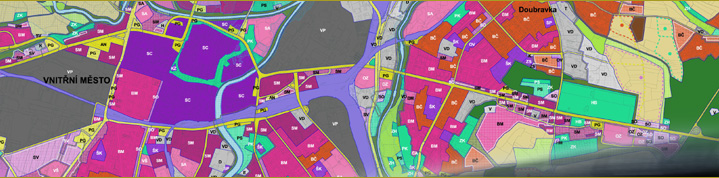
Map No. IV – Zones subject to special consideration
For the sake of clarity, Map No. IV is composed of three sub-maps showing the individual constraints and limiting factors.
Map No. IVa. Technical infrastructure
This map shows the routes of the main utility services along with their protection and safety zones (22 kV and 110 kV electricity transmission lines, high-pressure gas transmission lines, heat pipelines, water supply and sewerage lines) as well as radio-relay communication routes and their protection zones, cathodic protection, the highway protection zone, the railway protection zone, the Letkov Airfield protection zone, and water supply and sewerage facilities.
Map No. IVb. Sanitary protection zones and other constraints
This map shows water courses, the Q100 flood area, including the active zone (in addition to the map part, the flood area is dealt with in Part 2, section 6(a) of Decree No. 9/1995 of the Chartered City of Pilsen, on the Binding Parts of the Master Plan of the City of Pilsen, as amended), the drinking water-source sanitary protection zone (SPZ), water springs and wells and their protection zones, the waste-water treatment plant SPZ, cemetery SPZs, agricultural area SPZs and active mining land SPZs. The map also indicates areas at risk from undermining, the boundaries of the reserved mineral deposit zone, the boundaries of the mining and quarrying zone, radon risk areas and additional information.
Map No. IVc. Nature protection and heritage preservation
This map shows specially protected areas and their protection zones, significant landscape components, floodplains, forests and their protection zones, natural parks, heritage trees, heritage protection areas, archaeological heritage sites, archaeological locations, archaeological discovery areas and the boundaries of recreational areas.
Links
Information on Map No. IVa, IVb and IVc is provided by:Ing. Josef Čihák
tel.: +420 378 035 025
Cihak@plzen.eu
Zones Subject to Special Consideration – Technical infrastructure and transportation
Zones Subject to Special Consideration – Sanitary protection zones and other constraints
Zones Subject to Special Consideration – Nature protection and heritage preservation